One of my latest commissions is illustrating a wellbeing walks brochure; this will demonstrate a range of cycling /walking routes from Manchester Airport through to Northenden. The aim of this project is to enoucrage everyone to benefit mentally and physically from the wonderland of walks around the local area, while celebrating its variety of greenspaces, bio-diversity and local assets. This project is funded and commissioned by Thrive Manchester and partnered with Wythenshawe Waste Warriors, I am thrilled to be the affilated designer on such an uplifting, positive project.
Map Design
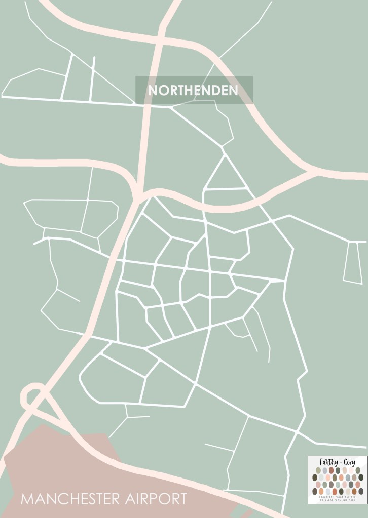
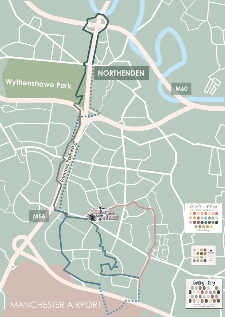
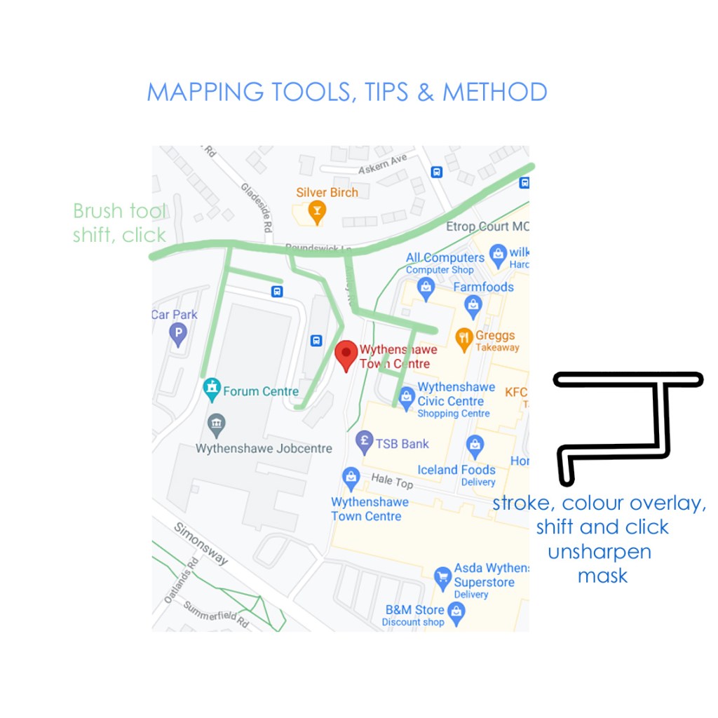
To begin map design, I began by drawing up the roads, Motorway, and River Mersey using satellite’s /google maps for reference. I was provided helpful material for placing in walking routes to begin laying a pre-liminary foundation. To keep my document in order, I have groups for all catogories of layers, e.g. zones, roads, symbols. The process is quite tricky and meticulous but I enjoy the challenge. I have great feedback and help on the progress from John-Paul Coe which keeps the work running smoothly.
Symbol Design
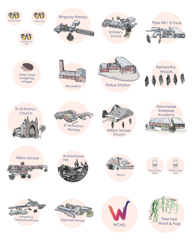
Once I had a base map and routes in place, I was provided with lists of landmarks for each walk, including parks, pubs, transport etc. To make symbols for these, I have been producing a range of illustrations and key features. There will be an estimated 50 symbols to illustrate so theres lots to consider in ensuring everything is legible.
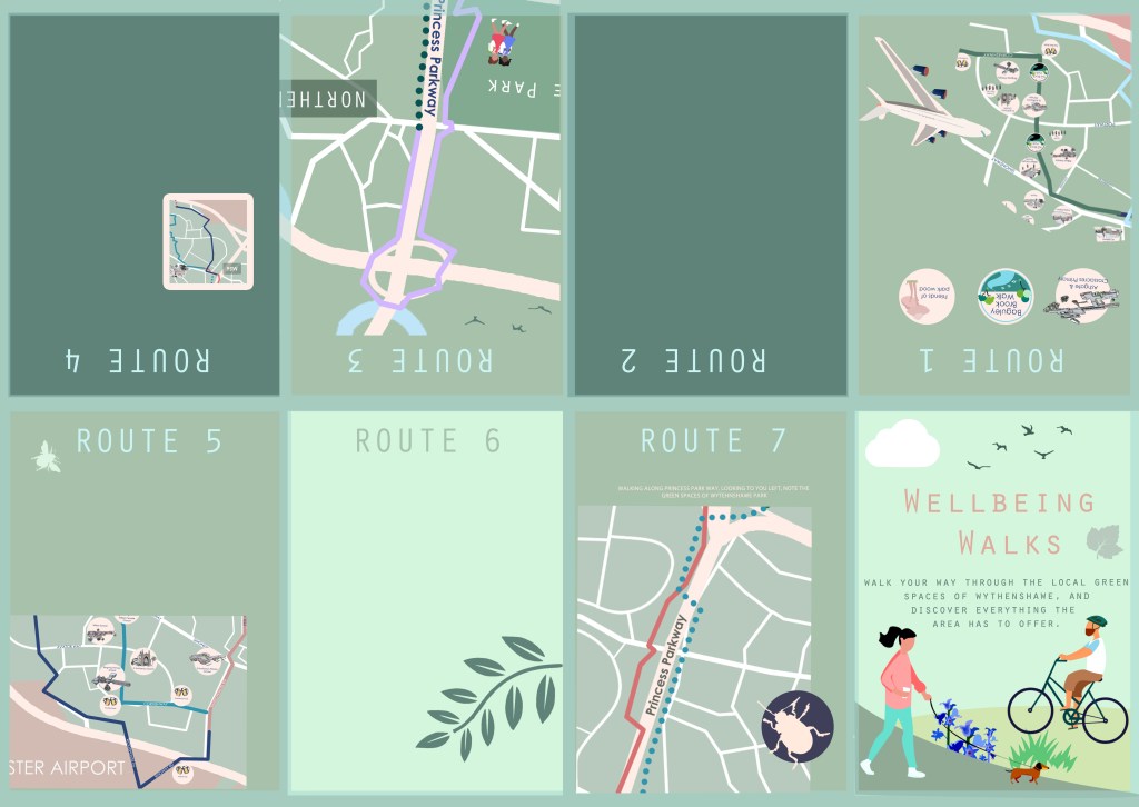
Brochure pages
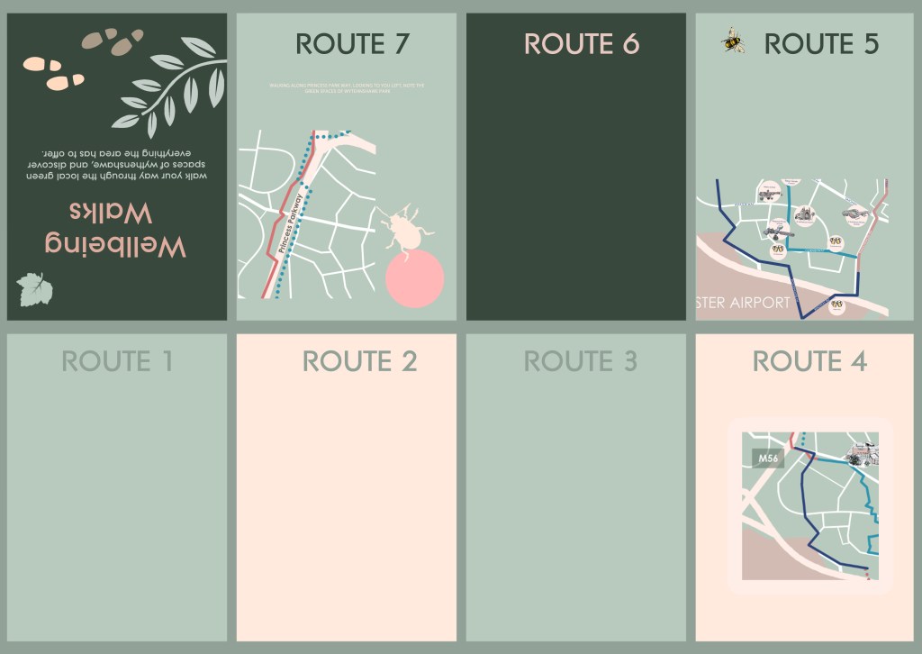
Before I thought about producing the map, I considered the reverse side, and how this would fold and be divided up. I mocked up a few basic outlines for printing and folding; this helped me trial and error sizes and provided an indication on how to scale content within the stages. Once I had a general idea of how to produce the brochure itself, I began mocking up the map and content for exploration. Myself and the funders are pleased with the progress so far and I am looking forward to furthering its development.